Libertas Landscape & Character Analysis
Kindly note: the content of this analysis has been reduced.
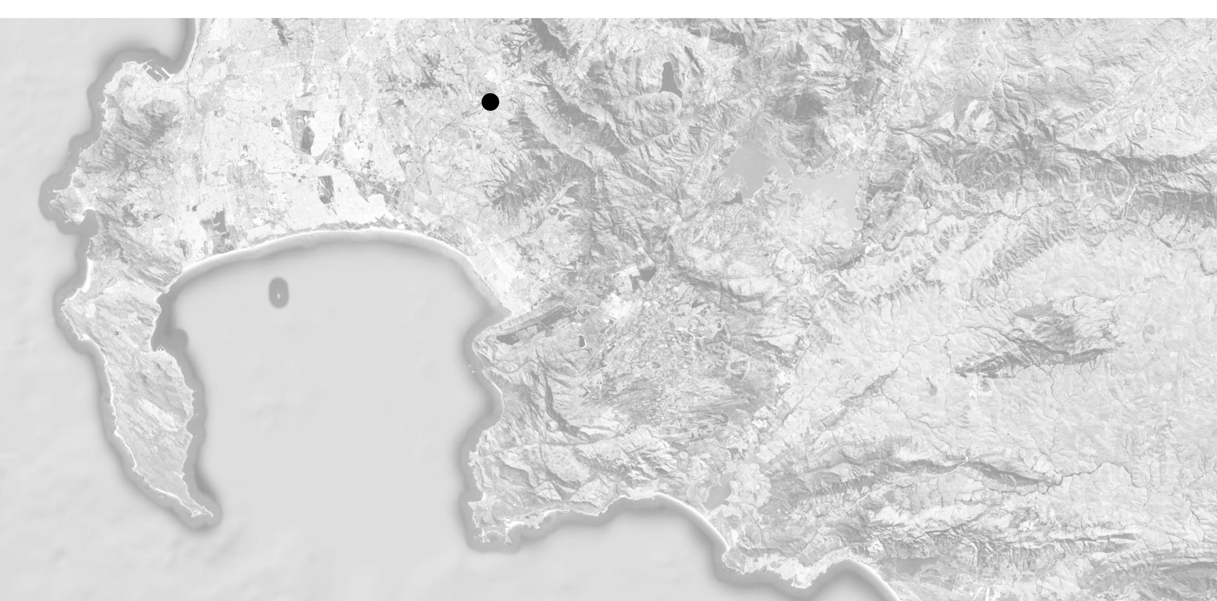
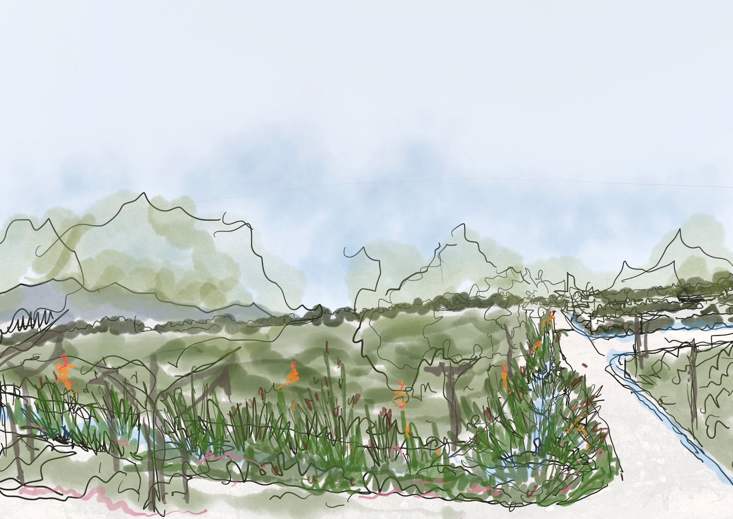
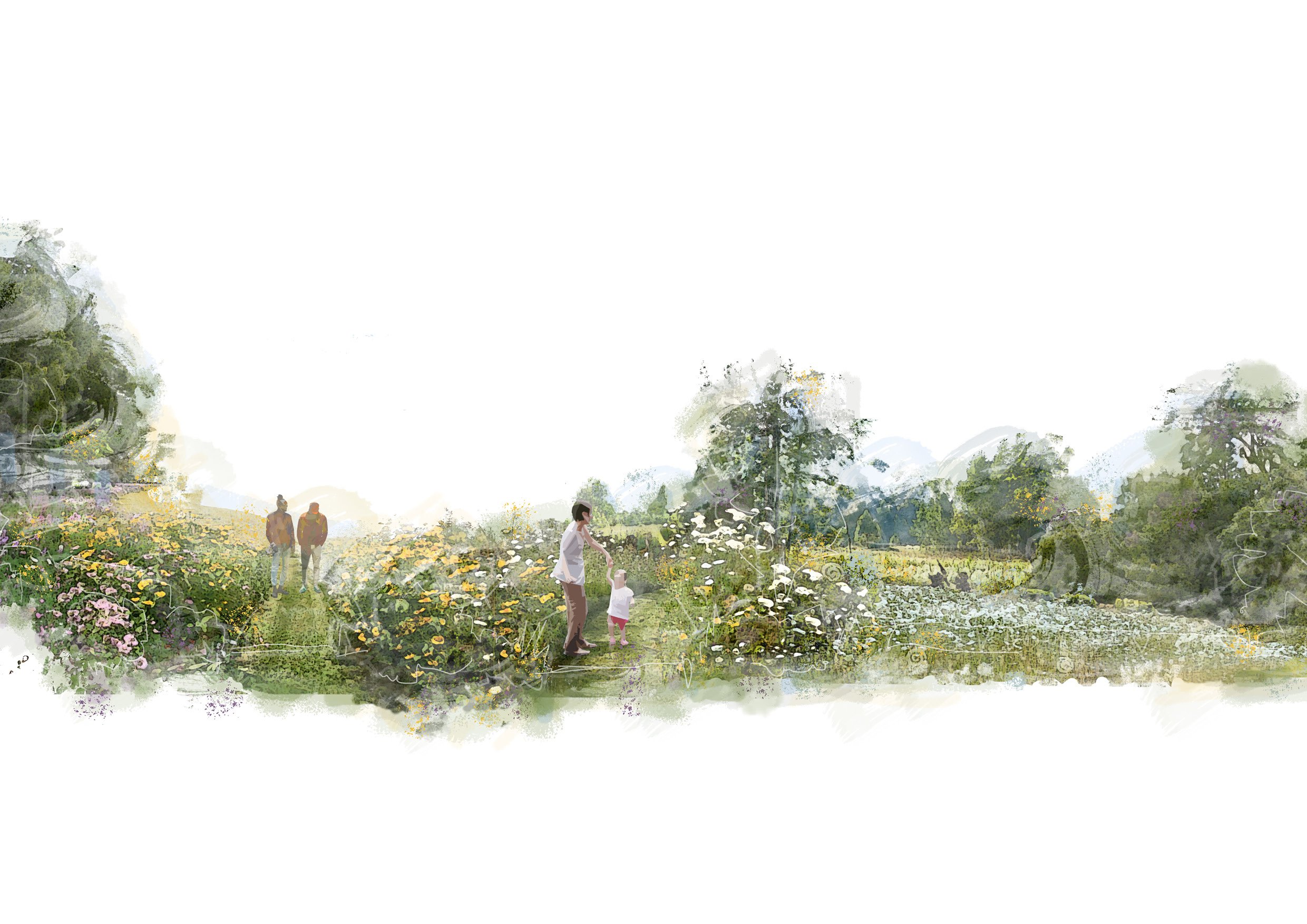
The High Level Framework prepared for Libertas is designed to guide the future development of a rural parcel of agricultural land with scenic and heritage significance.
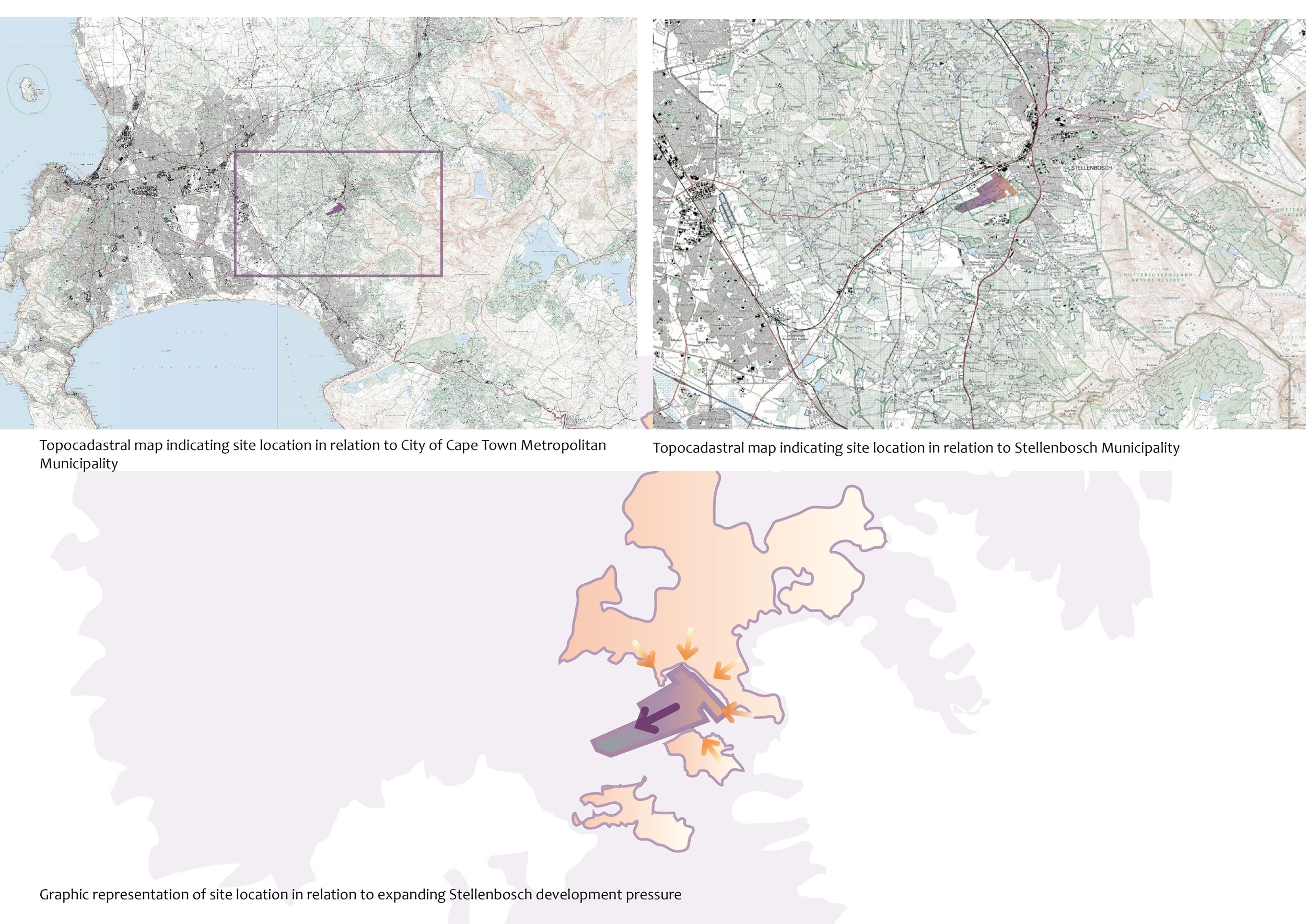

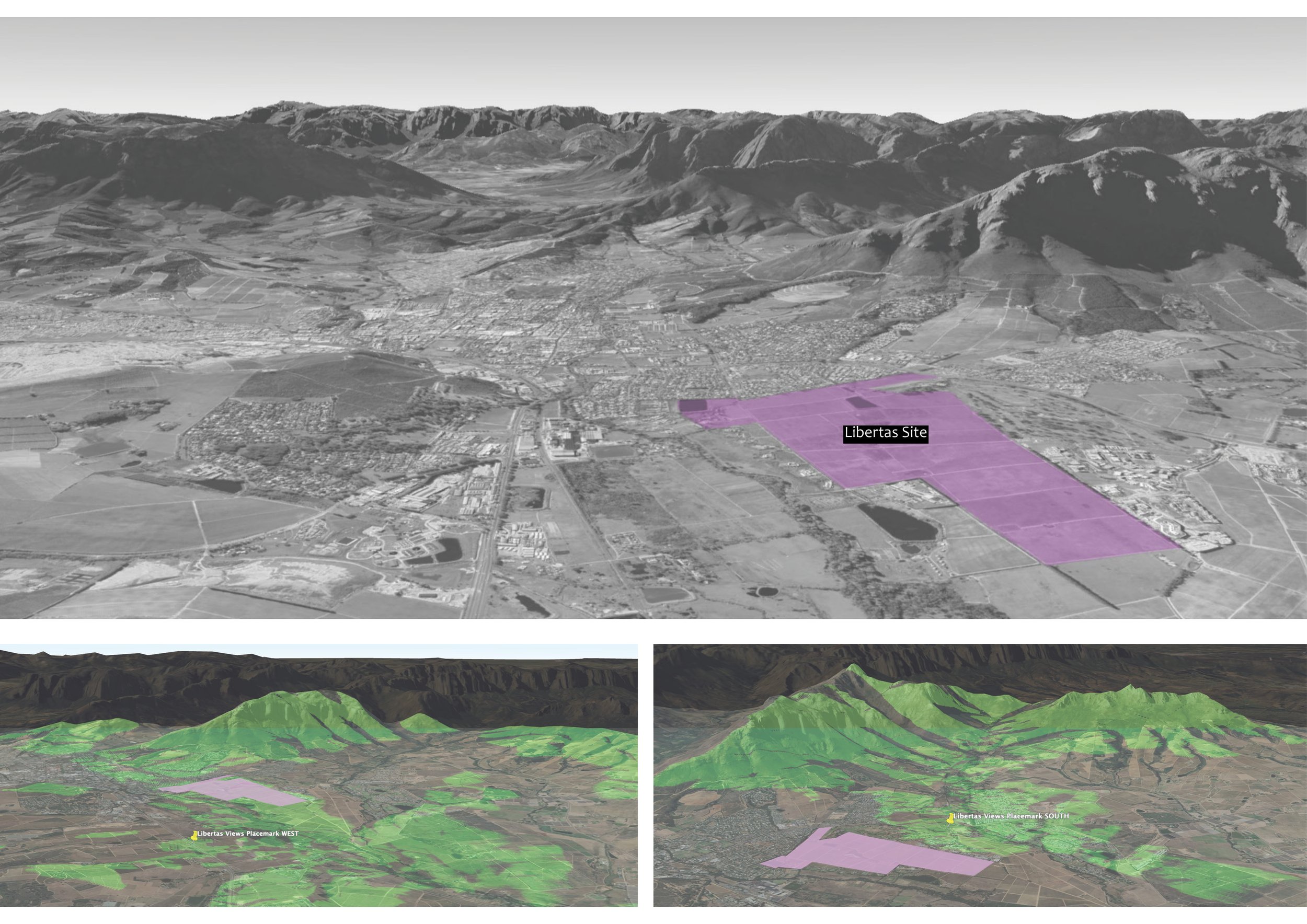
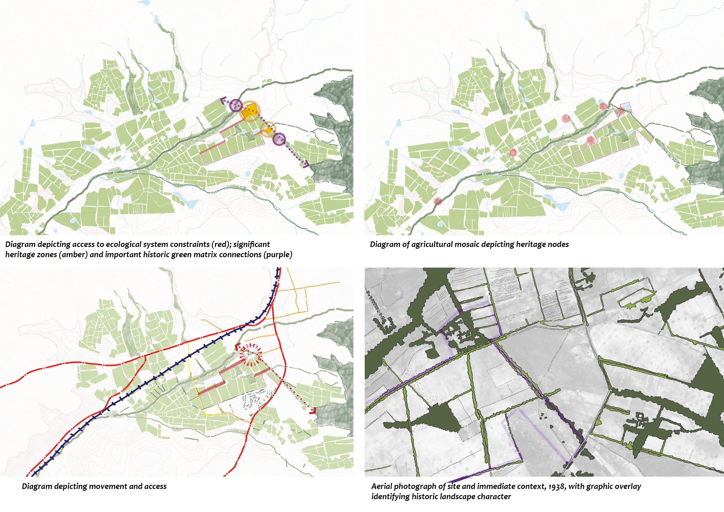
The Libertas site is situated within a river basin shaped by distinct geology and edged by the Blouklipriver river - connection to the river and river corridor of utmost importance. It is a relatively flat site visible from Paarl mountain and strong visual connection to surrounding wilderness areas. Landscape patterns of planes of agricultural fields a dominant element in the landscape, though the site disconnected from agricultural/rural landscape along the northern edge.
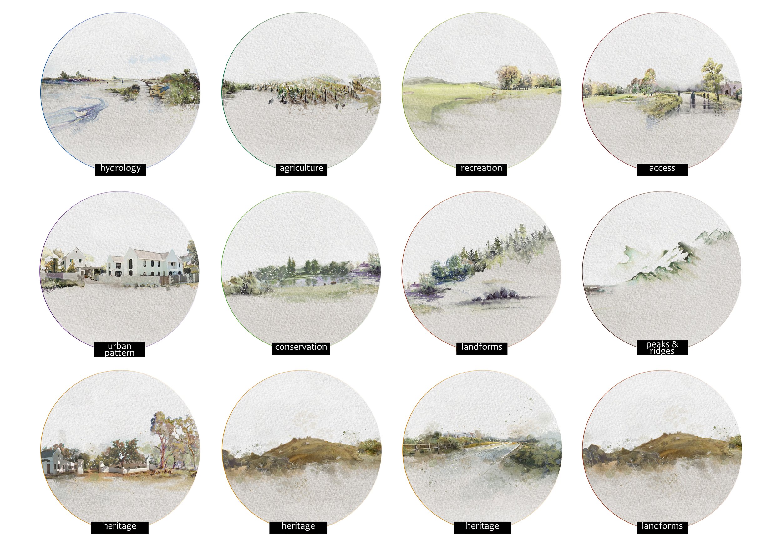
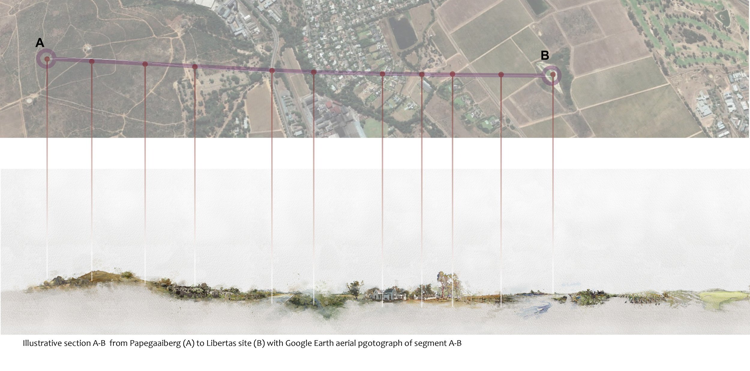
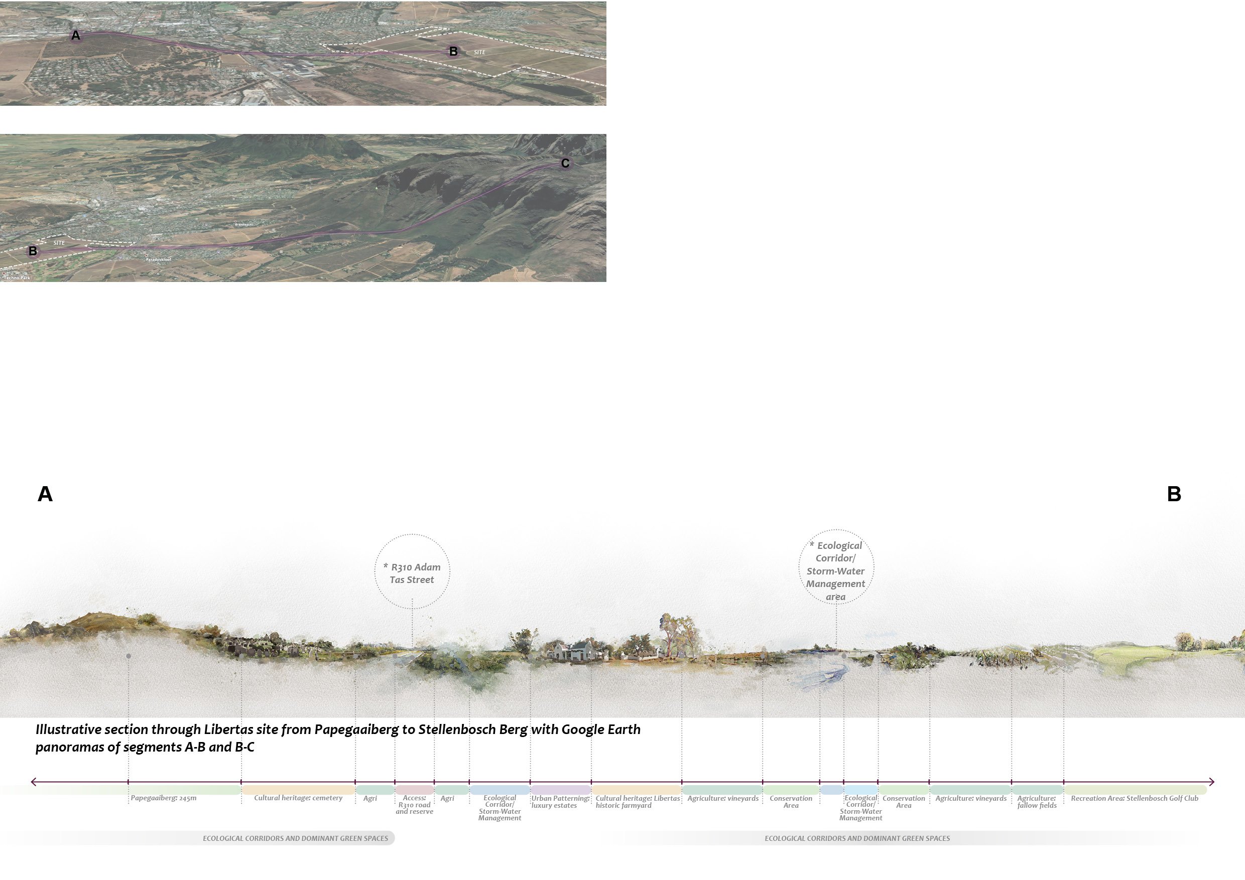

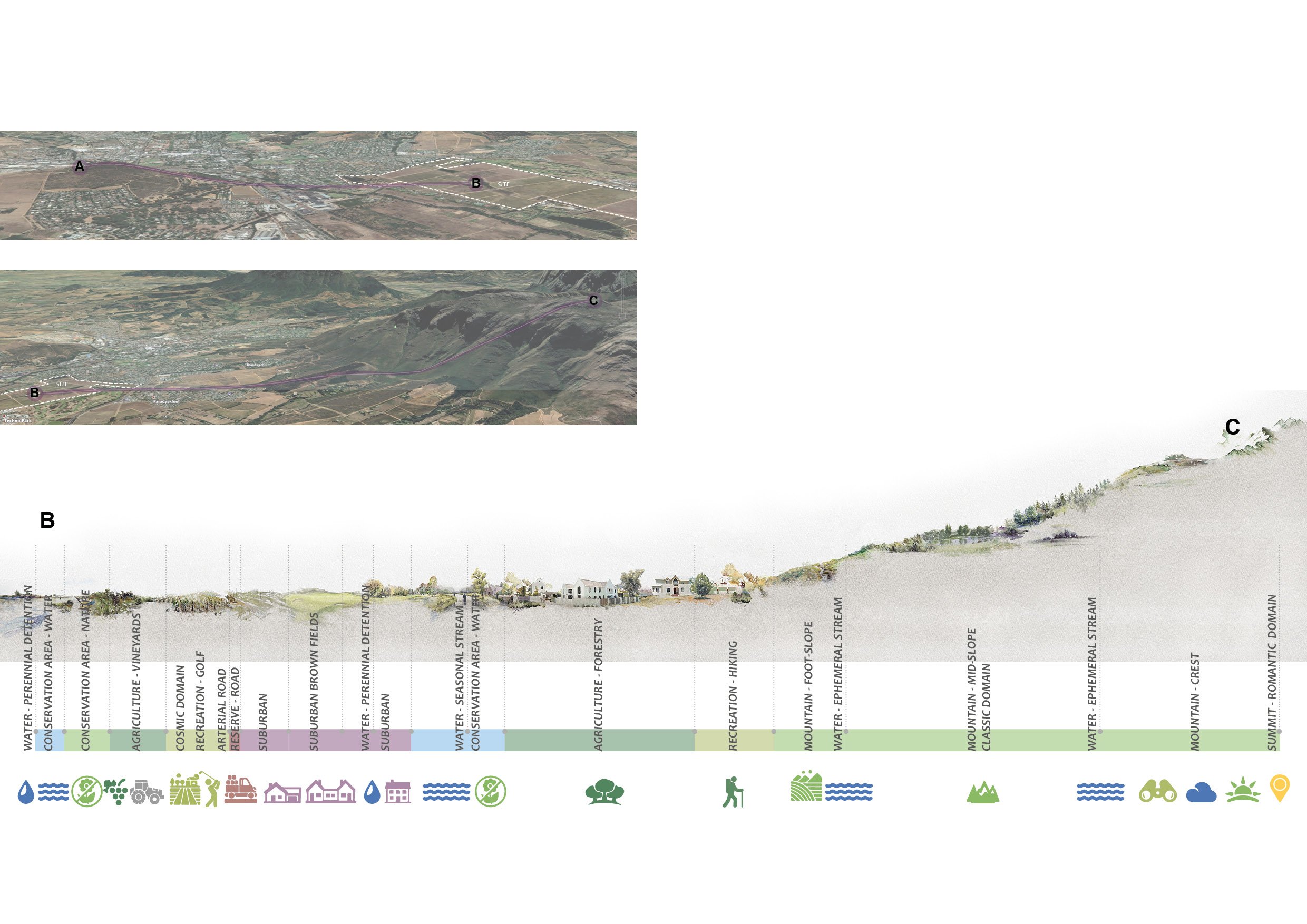
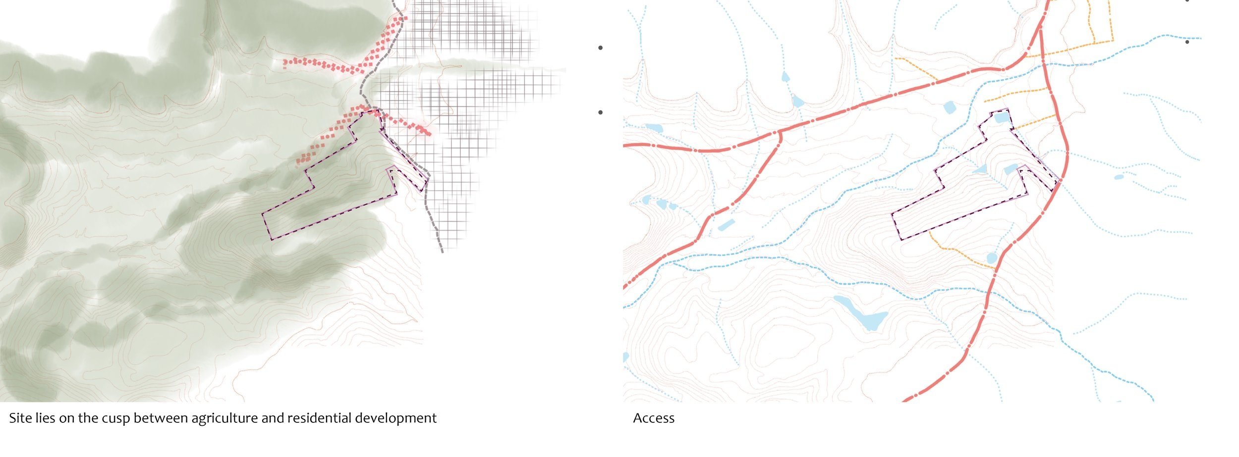
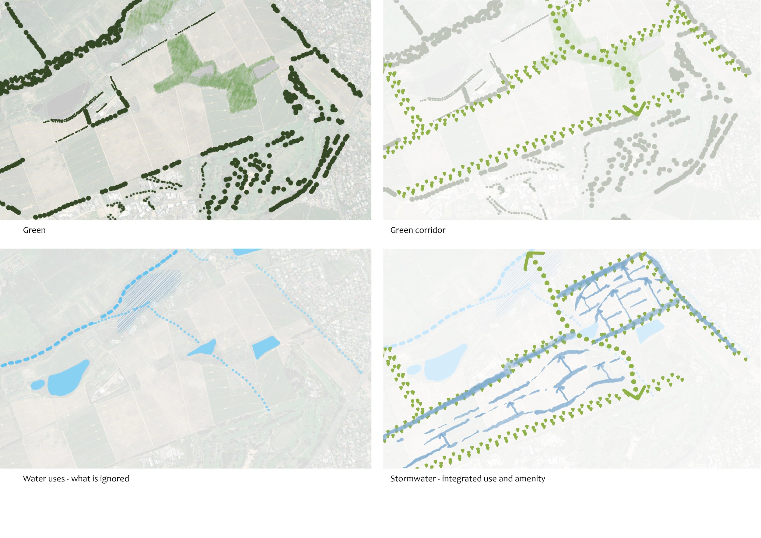
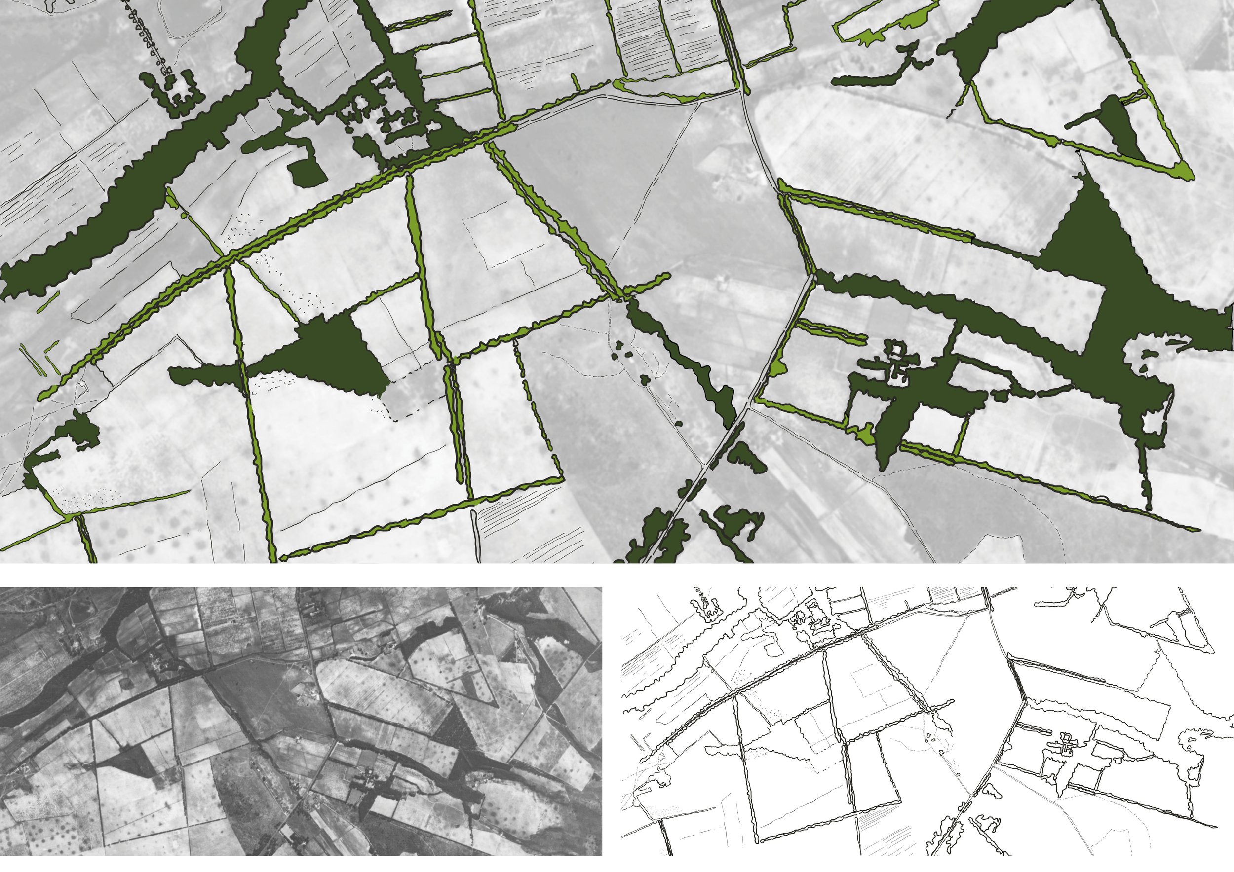
In addition to the diagrams and analysis developed as part of the landscape heritage analysis of the context and the site, the comments raised by 2 key role players dated 02.02.2021 were taken into account. the issues raised were addressed as part of the analysis and recommendations. These include the development criteria as per the Stellenbosch conservation management plan (2019) in particular landscape unit c15 Eerste River Central Area (7.7) That has been awarded a grade iiib (heritage area).
